In a world where consumerism and the pursuit of pleasure often take center stage, embracing a minimalist lifestyle can be a refreshing change. Reducing hedonistic tendencies and simplifying your life can lead to greater contentment and a more profound sense of well-being. But what exactly does it mean to reduce hedonistic ways and adopt a minimalist approach to living?
The Allure of Hedonism
Hedonism is a way of life focused on the pursuit of pleasure and the gratification of one’s desires. While pleasure is a natural and essential part of human existence, an excessive or uncontrolled pursuit of it can lead to negative consequences, both personally and environmentally.
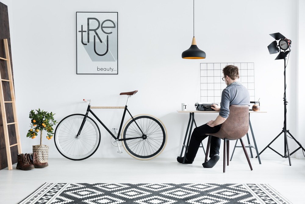
The Minimalist Lifestyle
Minimalism, on the other hand, is about simplifying your life and embracing a less-is-more philosophy. It involves decluttering, reducing excess, and focusing on what truly adds value and meaning to your life. Minimalists seek to free themselves from the … Read more